Tracy Horner - Watercolor
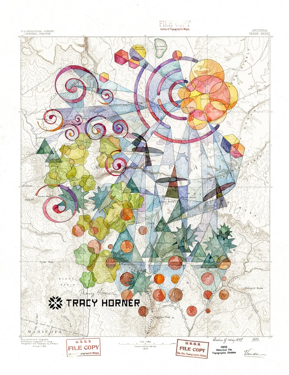
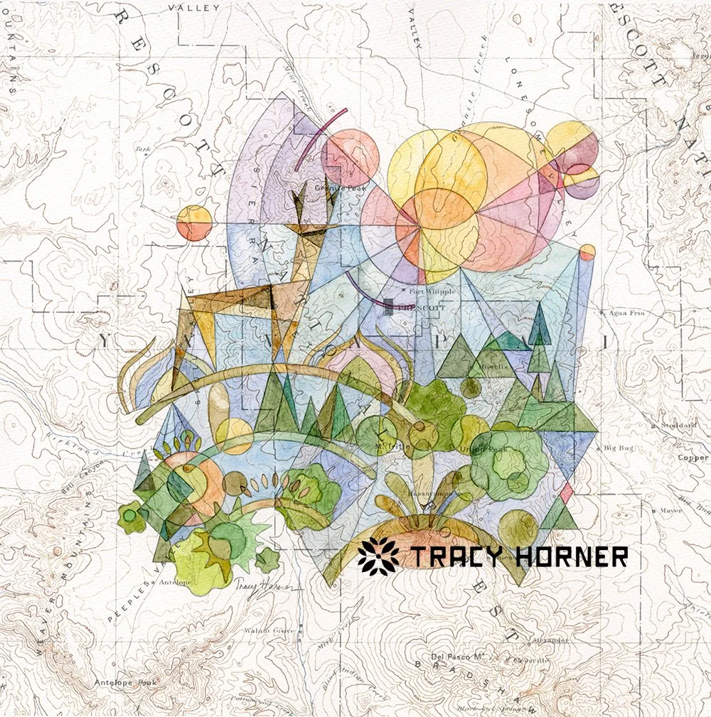
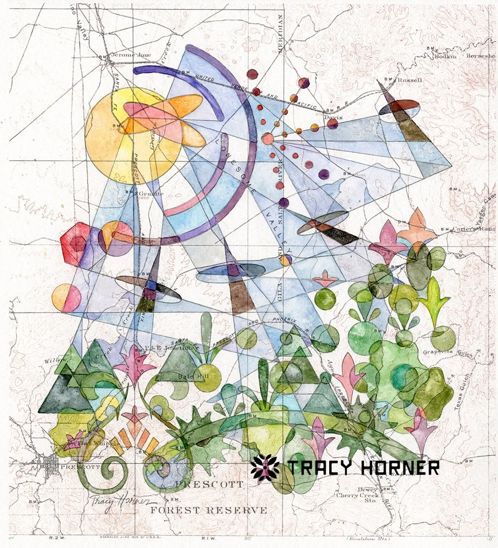
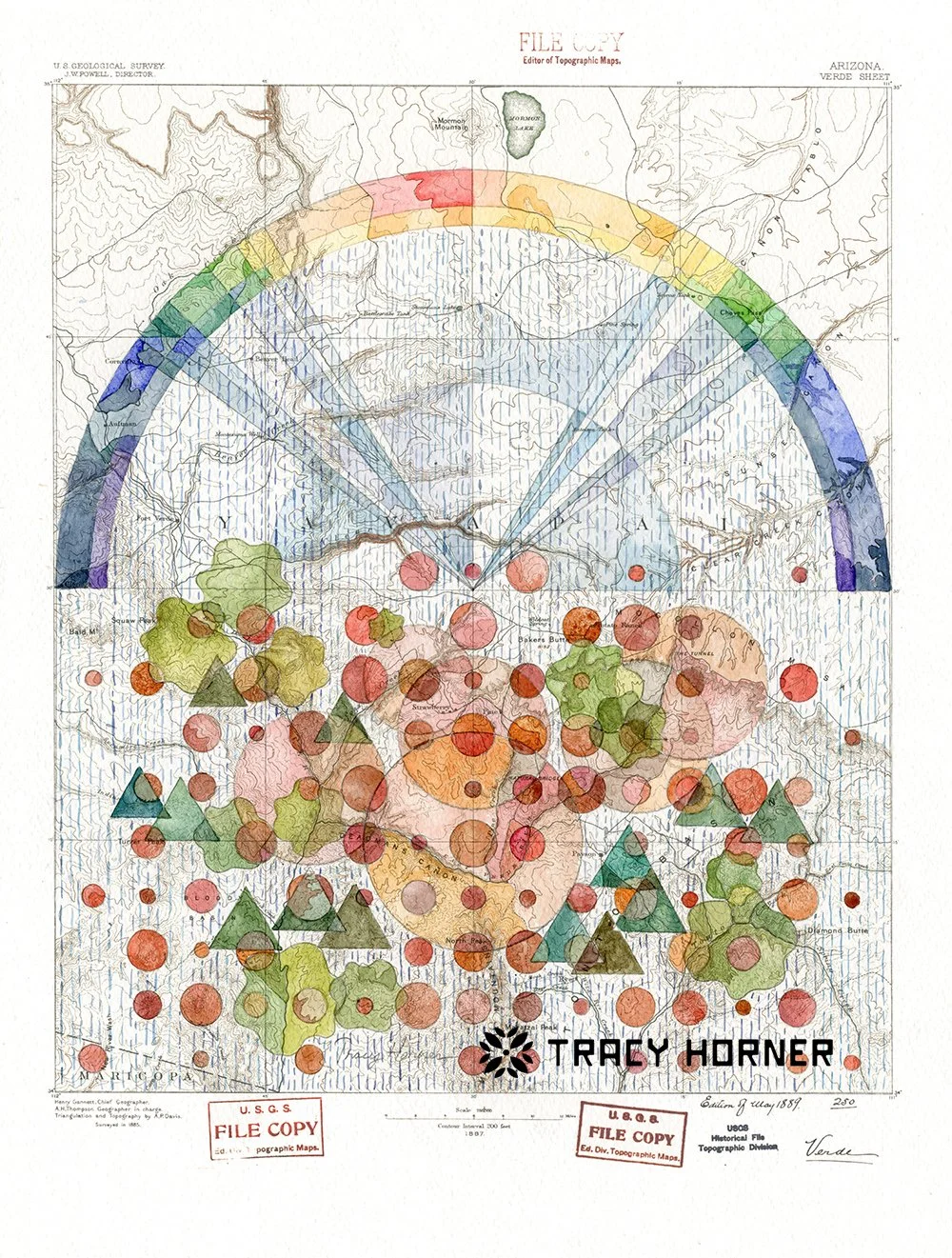
I grew up loving math and the sciences, so unsurprisingly l became an engineer. I appreciate the beauty in symmetry, structure, and pattern and carry that into my art. My latest series of paintings begins with copies of historical USGS topographical maps printed onto watercolor paper. I use a collection of pencil construction lines made with rulers, compasses, and shape templates to create abstracted versions of the plants and animals that can be found in the map’s area. I add watercolors and watch the landscape unfold. To make the sky as interesting as the terrestrial shapes, I’ve developed a watercolor analogy to the lens flare phenomenon. The maps provide a sense of place to anchor my visions and explore the surroundings. I’ve focused on Arizona locations for the gallery art but am accepting commissions for other custom locations and features.